Antique Maps of France to Download
France is a special place for me and my family. I spent many childhood holidays in France. Visiting relatives in Paris, Normandy, and the South. That’s why I decided to collect some vintage maps of France for my own collection.
Both my aunt and sister in laws have second homes in France. Another reason for this collection of vintage maps of France was for I needed some for making personalized Christmas presents.
I’m going to print a couple of them as a personalized map pillows, for a Christmas gift. Also, my aunt has requested that I make my Uncle a personalized map glass tray for his coins using a map of France featuring the location of their house.
However, I think many of these maps are so lovely that they would look great simply printed out and framed to hang on the walls.
The PDF downloaded vintage maps of France will be of a higher resolution then the images below.
To download the vintage maps of France just click on the Map title link and a PDF of the map will automatically download to your device.
This post contains Amazon affiliate links for your convenience. Click here to see my disclosure policy.
THE VINTAGE MAPS OF FRANCE
-
France 1888 Showing Rivers and Canals
A map of 1888 France that has been translated into English. This map shows the principle railways and navigable rivers and canals of France at that time.
-
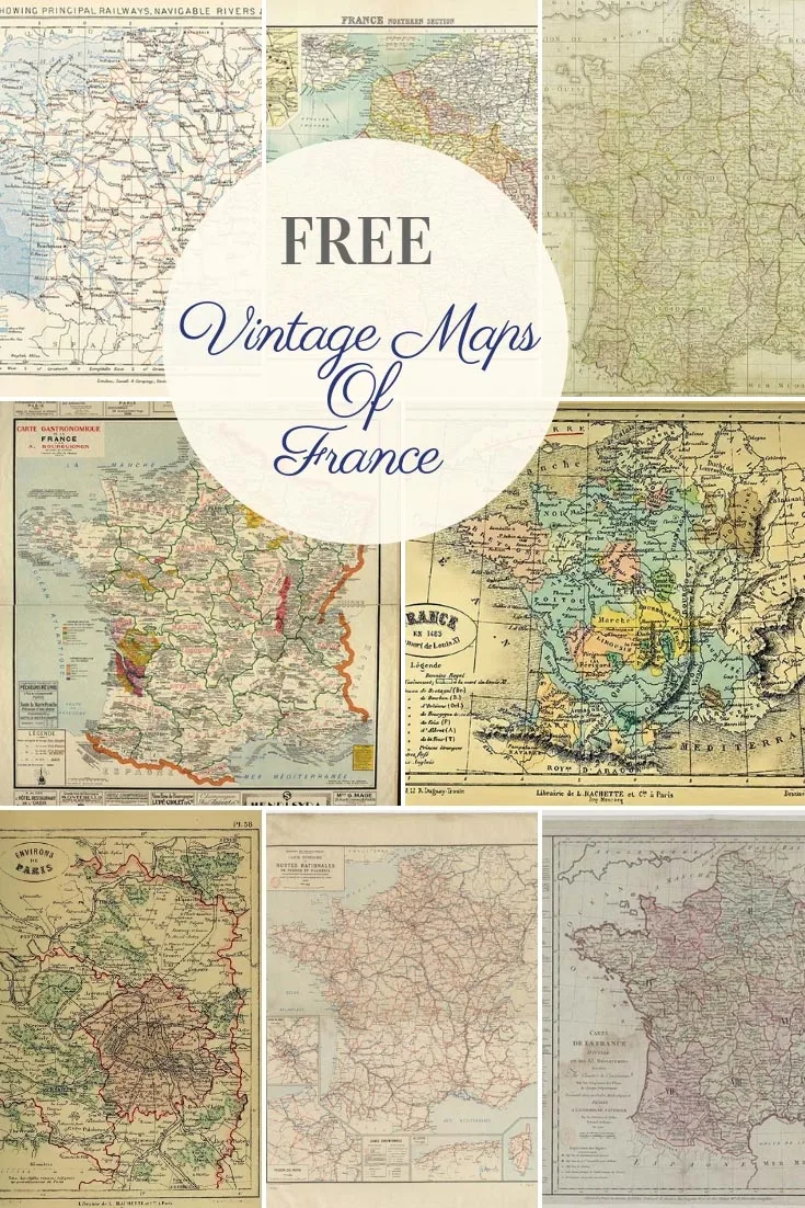
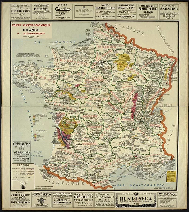
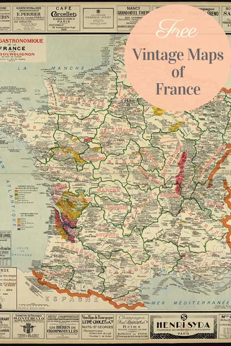
Gastronomic Map of France 1929
This is a fascinating map of France. It hightlights all the different foods and wines from all the different regions in France. This would look great hung up in a kitchen or restaurant. I love all the old food producer aadverst around the outside too.
-
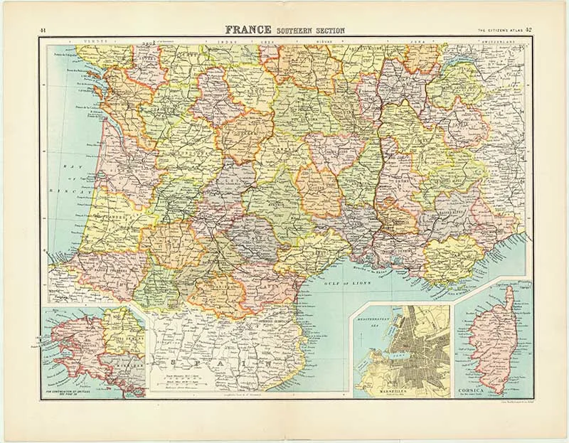
Map of Southern France – Batholemew Citizen Atlas of the world 1898
This is a lovely detailed map of Southern France. It includes a map of Marseilles and the island of Corsica.
-
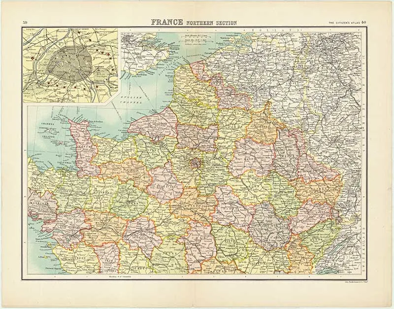
Map of Northern France – Batholemew Citizen Atlas of the world 1898
The other half of the map above. This time the North of France. This map also includes a map of Paris.
-
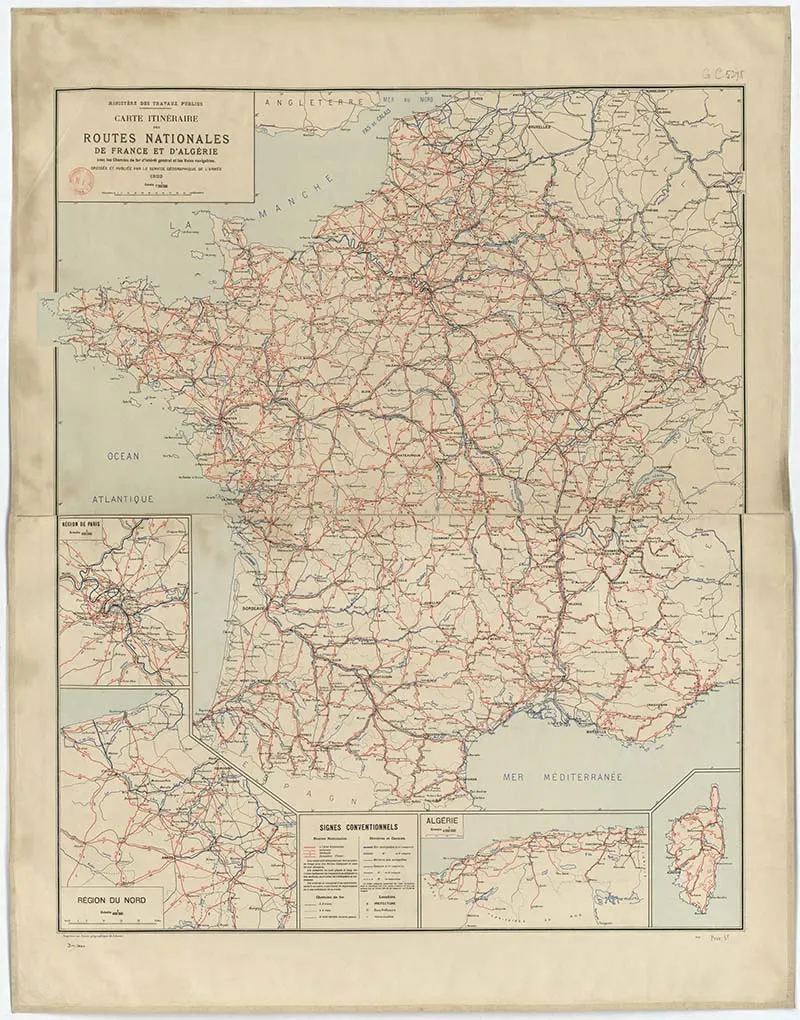
1922 Road Map of France
This 1922 vintage map of France shows all the major roads. It also includes the French colony of Algeria.
-
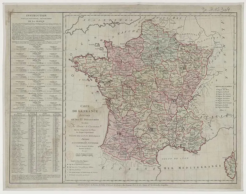
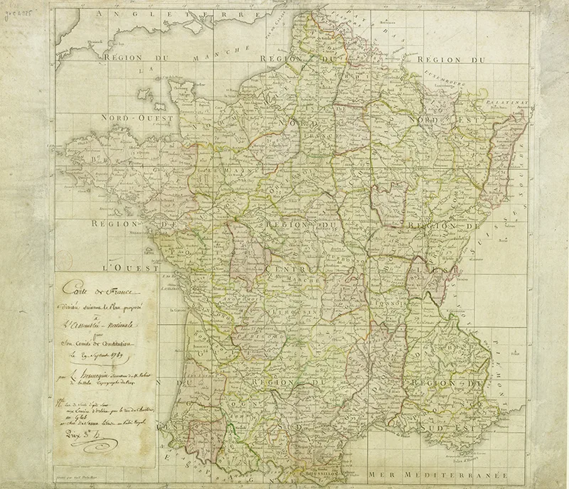
1790 Vintage Map of France divided into its 83 departments
This is a wonderful antique map of France from 1790. Those of you with good French maybe able to translate the writting on the side of the map. -
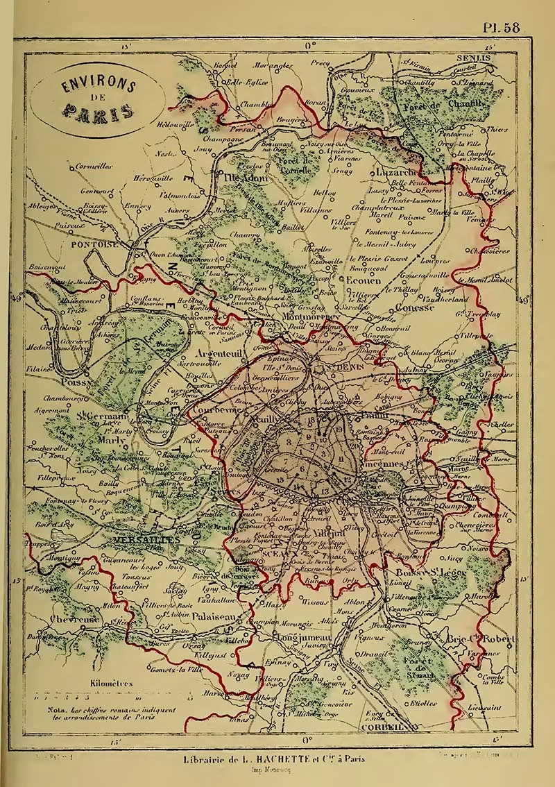
1865 Map of Paris
1865 Map of the “Environs De Paris”
-
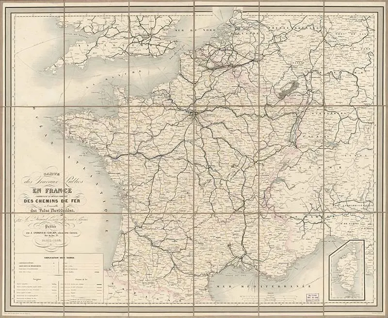
French public works map 1865
A huge map of public works in France including the complete network of railways in all the waterways in 1865. -
Map of France Straight After the Revoloution 1879
This is an intersting Map of France straight after the French revoloution, showing how the provences were divided up. -
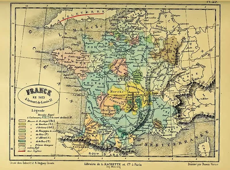
Colourful Map of France 1483
This is the oldest map of France I have found. It’s from 1483 a few century’s before the French Revoloution. I just love how colourful this map is, it would look lovely framed on the wall.
If you liked these maps, you should check out some of my other maps of Europe.
Free Vintge Maps Europe.
Free Printable Old Maps of Europe (Northern)
Stunning Free Vintage Maps of London To Download


Pamela Perry
Wednesday 19th of August 2020
love these - making inside front/back covers for journal folders pam - thank you!
claire
Saturday 22nd of August 2020
Thank you, glad you enjoyed them.
Di
Saturday 15th of February 2020
Bonjour Claire .... Thank you for the opportunity to download these wonderful old maps. The Bouches du Rhone area in Southern France is of particular interest to me as my ancestors were winemakers from that region. It is so interesting to see how everything has changed through the centuries from that first map in 1483 ... Once again ....... Merci, merci beaucoup ..... Di (Australia)
claire
Sunday 16th of February 2020
Thank you, that's really nice to know that you have found maps that are useful to you. Watch this space I will be adding more maps.
Ken
Sunday 5th of May 2019
Thank you Claire...really love these maps..very much appreciated.
claire
Sunday 5th of May 2019
Thank you, you’re welcome.
Lovely Old Maps of Paris To Download - Picture Box Blue
Friday 11th of January 2019
[…] Vintage Maps of France […]
Grandma's House DIY
Monday 17th of December 2018
Awesome, thanks for sharing with us at the To Grandma's House we go link party. See you next week!
claire
Wednesday 19th of December 2018
Thank you so much!