Vintage Maps of Great Britain And The United Kingdom To Download
It is a bit confusing at times as the terms Britain, Great Britain, United Kingdom
The United Kingdoms’ proper title is actually the United Kingdom of Great Britain and Northern Ireland. Between 1801 and 1822 the United Kingdom also included the whole of Ireland, so this will be reflected in some vintage maps of the United Kingdom.
The United Kingdom doesn’t include the Channel Islands and the Isle of Man. However, these islands are part of the British Isles. The British Isles is simply a geographical term ” it refers to the islands of Great Britain and Ireland – including the Republic of Ireland – and the 5000 or so smaller islands scattered around our coasts.” Even though the Republic of Ireland is part of the British Isles its people aren’t British as the term is a geographical one and not a political one.
If you weren’t sure before I hope that my explanation has explained it clearly for you and not confused you even more.
I have curated a collection of old maps of the British Isles, Britain and or the United Kingdom.

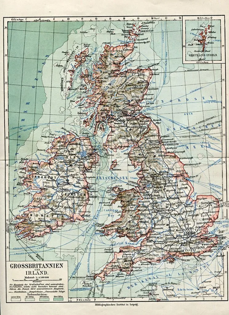
1. Old Map Of Britain And Ireland
The map is actually one from my own collection. It was originally from a German Atlas, that’s why all the place names are in German. It could be called a vintage map of the British Isles as includes Ireland, however, I can’t see the Chanel Islands which are also part of the British Isles. That’s why I titled as an old map of Britain and Ireland.
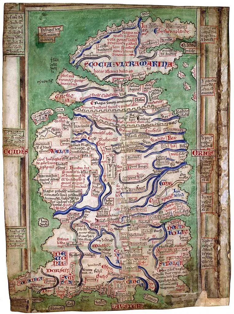
2. Ancient Map of Britain – 1250
An ancient map of Britain painted by the Benedictine Monk “Mathew of Paris” in 1250. ” Mathew was based at St Albans Abbey in Britain (not far from where I live). This was one of four maps of Britain he illustrated.
This particular map of Britain “is organised around a central north-south itinerary from Dover to Newcastle”. The original drawing is stored in the British Library.
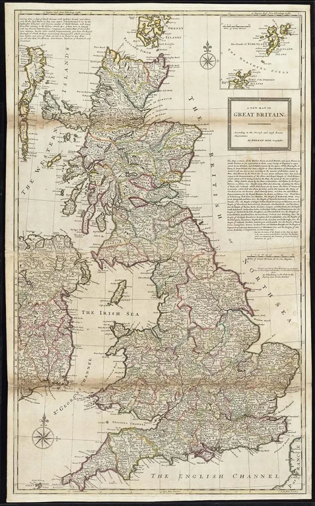
3. Map of Britain approx 1720
The map is actually titled “A new map of Great Britain according to the newest and most exact observations” It was created by the geographer Herman Moll and the original map is in the Boston Library.
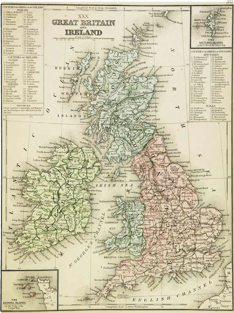
4. Map of Britain and Ireland 1865
A lovely map of Britain and Ireland it also includes the Channel Isles. The map has lovely detail, including listing all the counties for each country, Scotland, England, Wales and the whole of Ireland North and South.
The map is by Samuel Augustus 1865 and is from Cornell University Library.
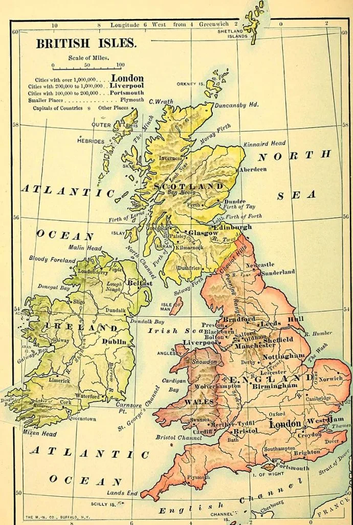
5. Map of The British Isles – 1901
A lovely simplified map of the British Isles from 1901. There is not too much information on this map and each country, Scotland, England Wales and Ireland is a different
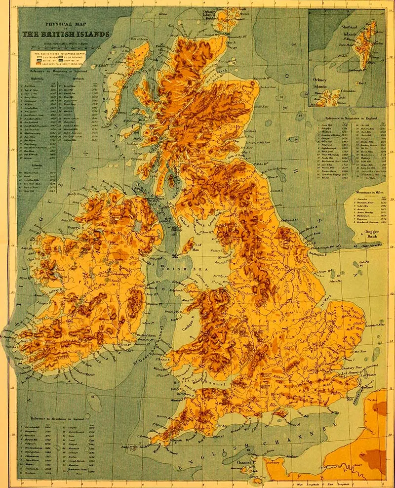
6. Physical Map of the British Isles
This is a physical map of the British Isles from the book “The Earth And Its Inhabitants” 1881. A classic illustrated geography book by Élisée Reclus.
The map highlights the mountain ranges of England, Scotland, Wales and Ireland. There is even a key listing the major mountains by height. The tallest being Ben Nevis in Scotland.
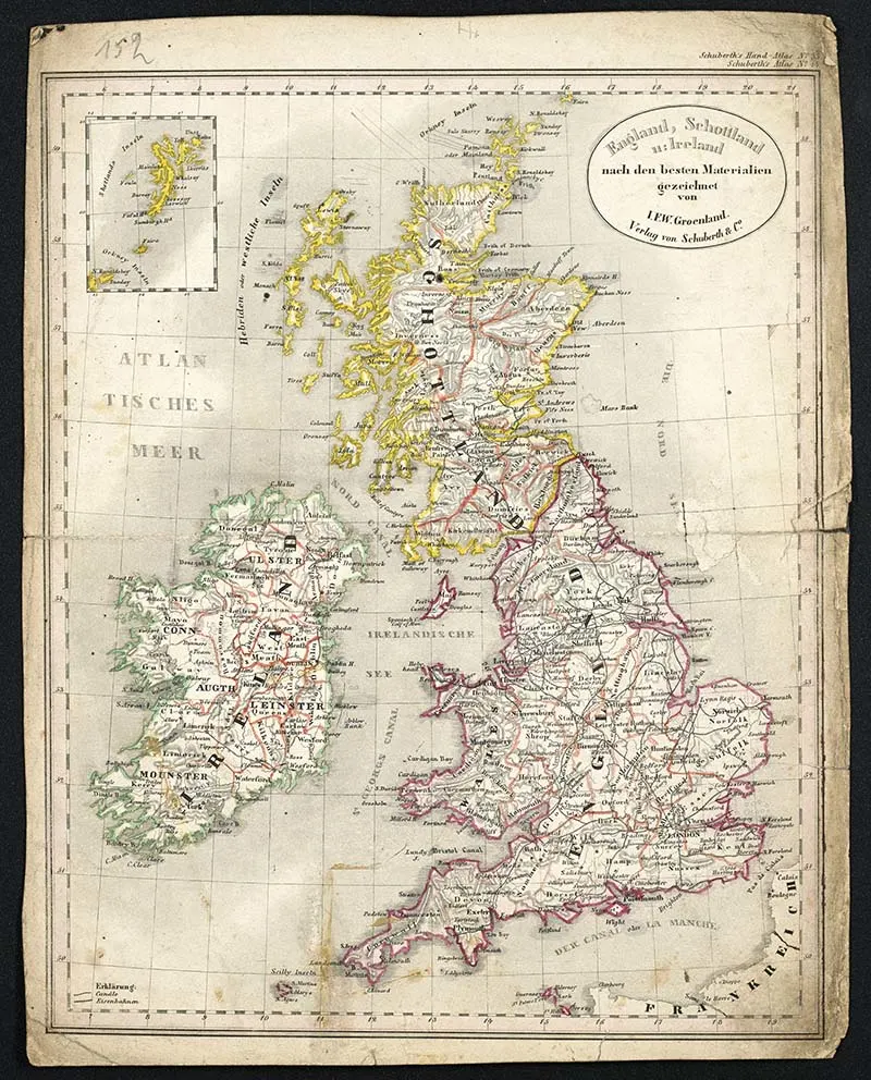
7. Map of England, Scotland, Wales and Ireland 1856
I don’t know much of this rather beaten up old map of Britain and Ireland, except that it is a German map published in 1856.
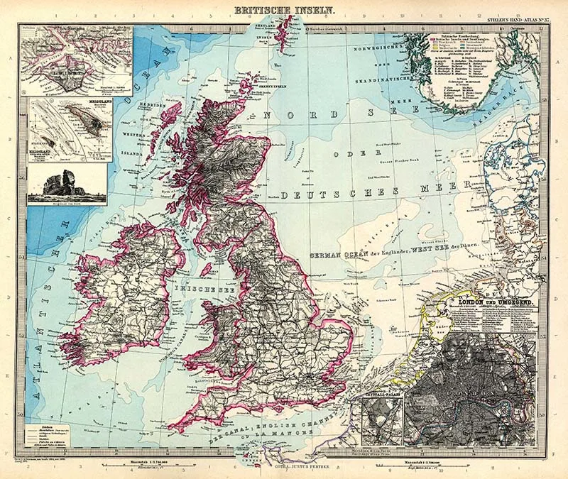
8. British Isles 1891
A German map of the British Isles by the German cartographer
Adolf Stieler. It is one of my
There is some interesting detail on the map including a physical representation of the landscape. An inset map of the Center of London marking the major train stations and points of interested.
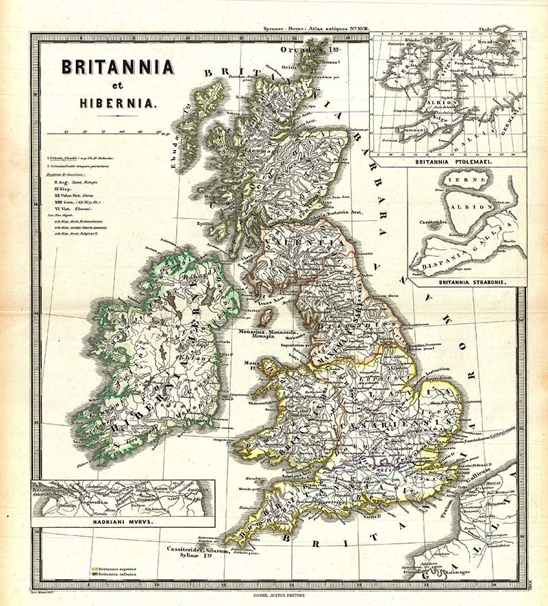
9. Map Britannia & Hibernia 1865
Britannia is the Roman name for Britain and Hibernia is the Roman name for Ireland. This is Karl von Spruner’s 1865 map of Briton, and Ireland (Britannia et Hibernia). The antique map includes the names of ancient tribes and peoples and the areas they inhabited. There is also an inset detailed map of Hadrian’s Wall on the map.
Hadrian’s wall was a Roman fortification that ran the width of Britannia and separated the Northern most part of the Roman Empire from the lands of Ancient Britons.
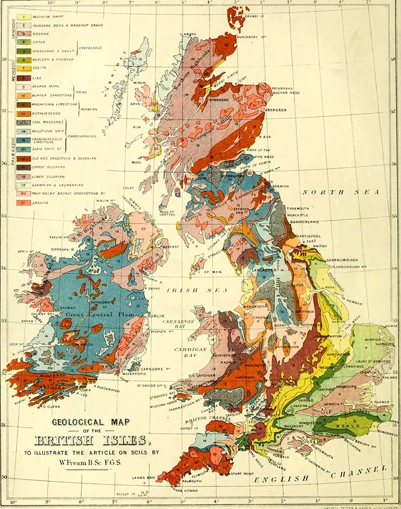
10. Geological Map of the British Isles
A lovely
The map is from the book “Dairy Farming – Being The Theory, Practice, and Methods of Dairying”(1880). I presume soil type is important information for dairy farmers!
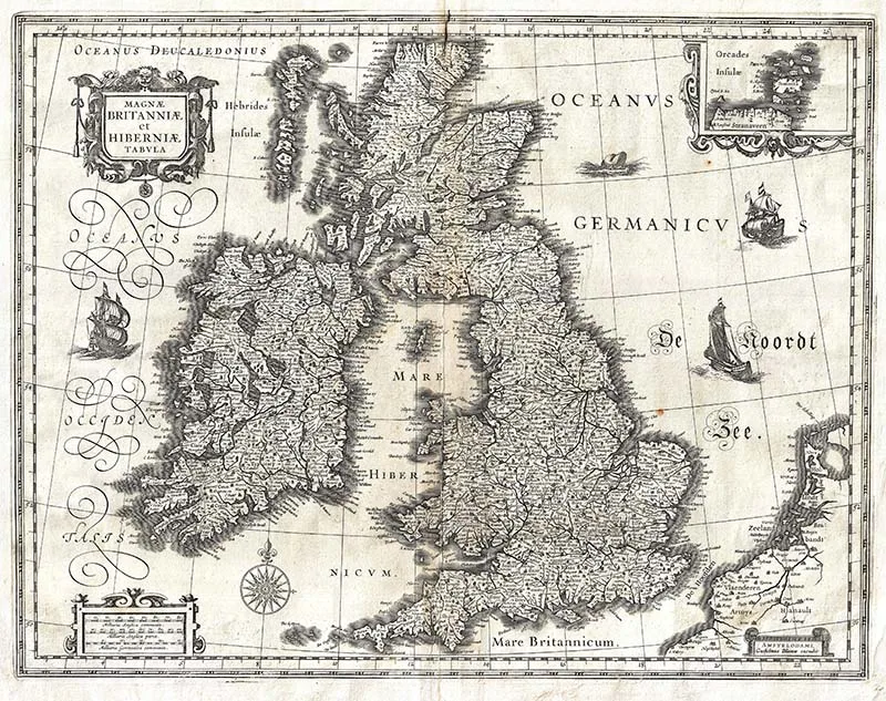
11. Blaeu’s 1631 map of the British Isles
Guillaume Blaeu’s 1631 map of the British Isles. It covers all of England, Scotland, Wales, and Ireland.
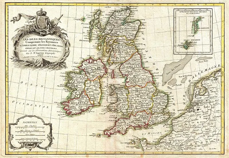
12. 1771 French Map of The British Isles
A beautiful example of Janvier’s 1771 decorative map of the British Isles. An inset in the upper right details the Shetland and Orkney Islands. The map is from Jean Lattre’s 1776 “Atlas Moderne”.
There are some gorgeous vintage wild flower illustrations from the British Isles that you might want to look at.
If you liked these maps don’t forget to check out some of my other European Maps.

Vickie
Wednesday 20th of November 2024
They are amazing. As I am reserching family history in the 800 's and after they offer alot of insight as to the locations I am constantly viewing, such as Wessex and Mercia, places I have not heard of until lately.
claire
Thursday 21st of November 2024
Wow that must be interesting and fun to do.